Gwen Ottinger, Drexel University
Sydney 2018: Infrastructure and co-design
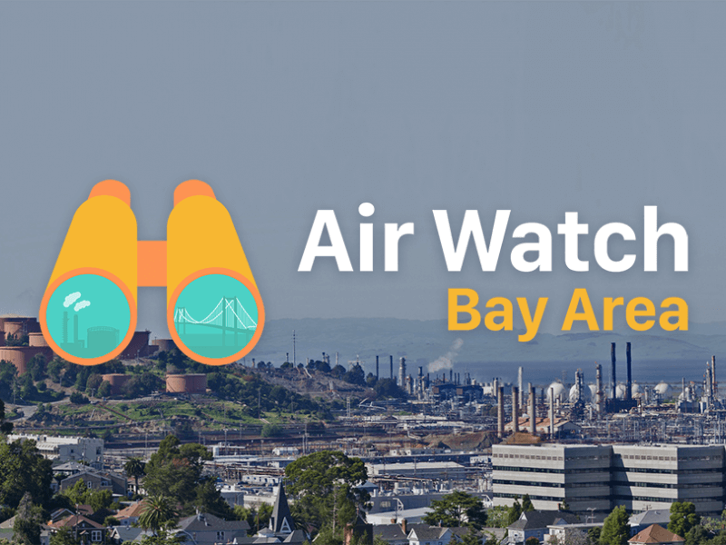
What we made: An interactive website (airwatchbayarea.org) that (1) displays real-time and historical air quality data from monitors in refinery-adjacent communities, (2) collects residents’ pollution reports (odors, photos, symptoms), and (3) triangulates these data by displaying residents’ reports on maps and time-series graphs of monitoring data.
What it was supposed to do: Make unmanageable quantities of data easier to interpret and use strategically in fenceline communities’ campaigns for environmental justice.
Why it was important: While environmental sensing data are increasingly available to communities affected by toxic chemicals, infrastructures to interpret those data are limited. Moreover, the relationship between data and strategic activism is often unclear. Existing infrastructures are designed to tell residents about pollutant levels, using contested health standards, rather than incorporating residents’ local knowledge of pollution and health. We attempted to prototype a more empowering information infrastructure, surfacing new insights from data and possibilities for action.
What we learned: Making data explorable and annotatable was necessary, but insufficient, to enable community residents or researchers to make better sense of it. Devising illuminating data interpretations is a work in progress. Serving the priorities of environmental justice activists has been more difficult still. Widespread engagement with the platform could help make the data meaningful. But participation is contingent on regulatory use of data and clearer alignment with activists’ strategic analyses–which may not encompass a need for new data. Broader landscapes of power constrain how data infrastructures may be leveraged for systems change, or, instead, may be implicated in technocratic greenwashing.